
REPRODUCTION MAPS – SAMPLE IMAGES
Below are sample images for our reproduction maps so you can see the type of map you will receive
ENGLAND – JOHN CARY’S County Maps – 1787


PHILIPS’ COUNTY ATLASES of IRELAND – 1882

SCOTLAND – 1845

WALES – JOHN CARY’S County Maps – 1787

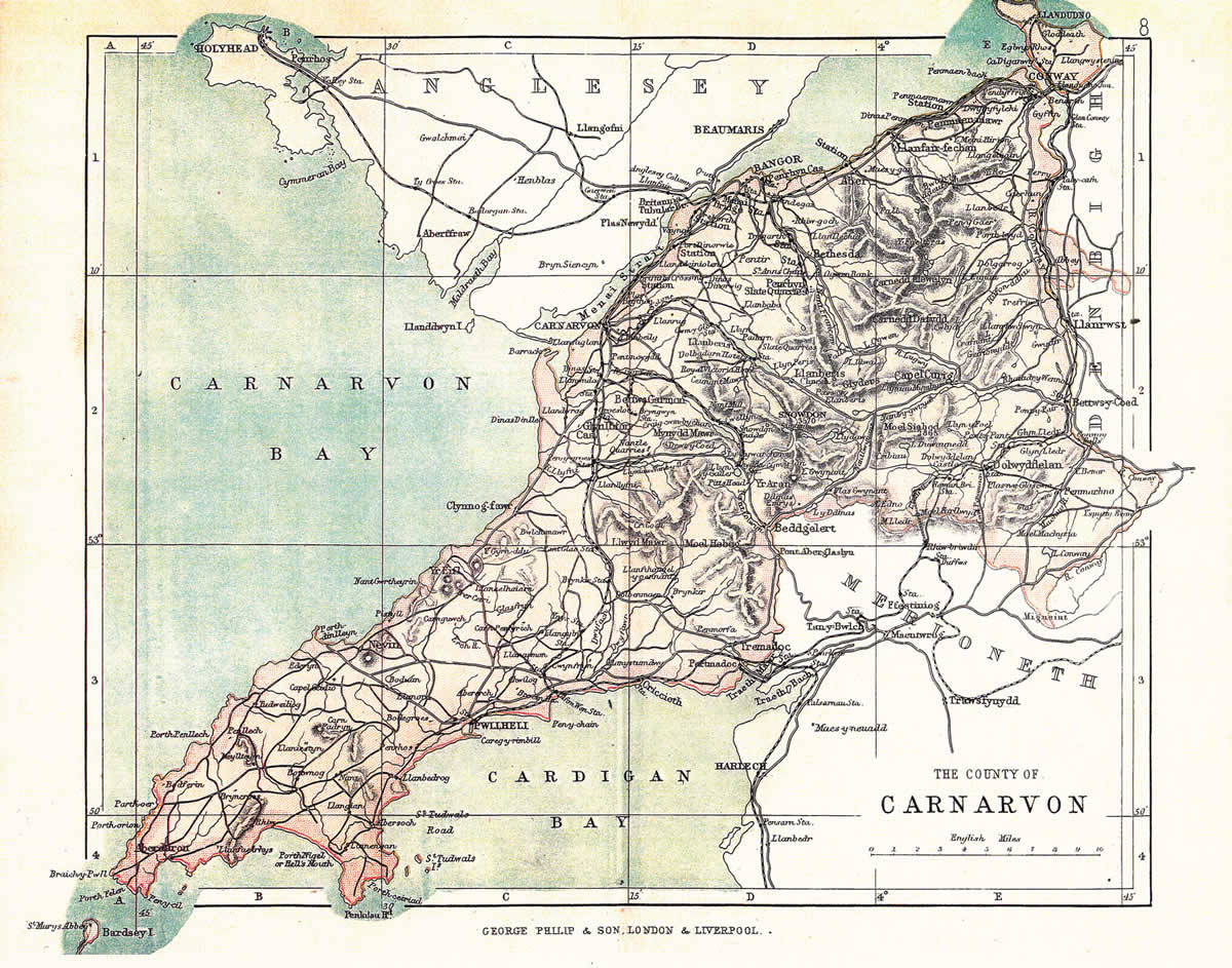
PHILIPS’ COUNTY ATLASES of WALES -1883
CHANNEL ISLANDS – circa 1901

ISLE of WIGHT – circa 1875

ISLE of MAN – circa 1875

ENGLAND & WALES – AREA MAPS
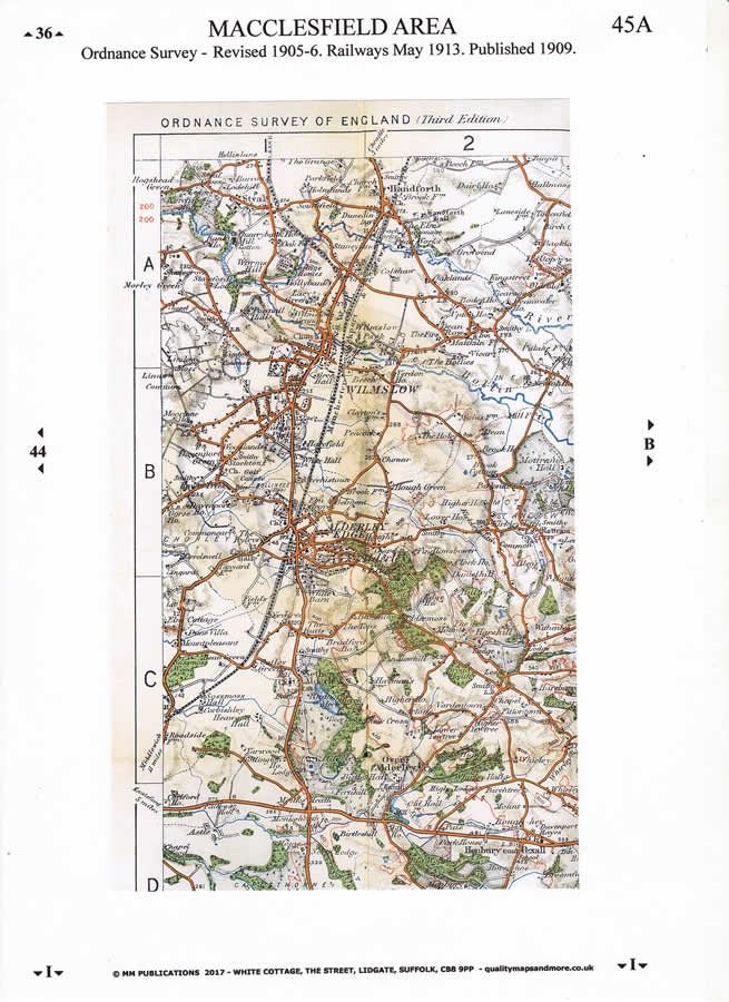
The colour 1″ maps produced before the Great War are an excellent guide to the Country before the Great War and much sought after by collectors and local historians. They include many details such as Parish Boundaries and Footpaths. I have enlarged sections of each map onto individual A4 sheets. Each map has a unique title for a local place/area to help find your place of interest.
STREET PLANS

Reproduction Map – Street Plan Example Northolt Greenford Middx 1887

Reproduction Map – Street Plan Example Bangor 1922
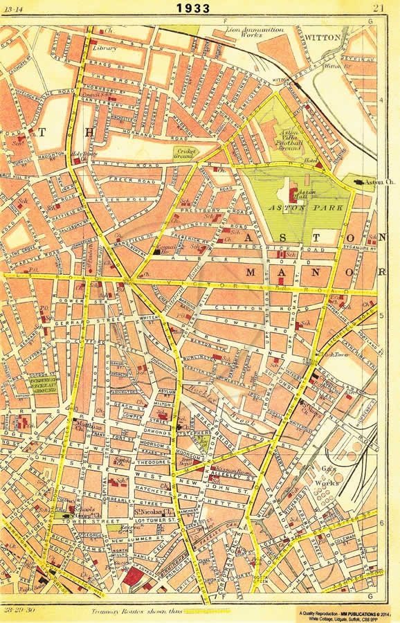
Reproduction Map – Street Plan Example Birmingham Aston Manor 1933

Reproduction Map – Street Plan Example Bradford Thornton 1930

Reproduction Map – Street Plan Example Canterbury1806

Reproduction Map – Street Plan Example Cork 1911

Reproduction Map – Street Plan Example Glasgow Whiteinch 1926

Reproduction Map – Street Plan Example LIverpool Wavertree Park 1928
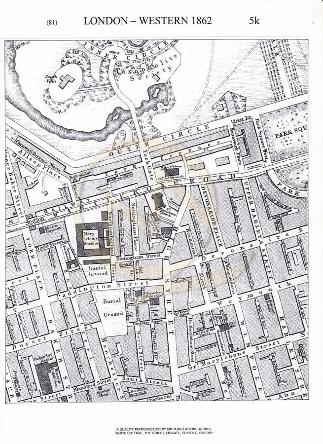
Reproduction Map – Street Plan Example London Marlebone 1862

Reproduction Map – Street Plan Example Manchester and Salford 1750
There is just one alphabetical list comprising England, Ireland, Scotland, Wales, Channel Islands and the Isle of Man.
Street plans range from the simple sketch maps usually prepared for local towns and villages that accompany many of the early 20c. guide books, to the more detailed City plans some of which include a street index. They cover much of the Victorian and early 20c. periods. I have also given ‘Sample Images’ for a number of the maps.
Please enquire if you wish to track down specific streets on a map in a particular time period and I can do a free search for you.