
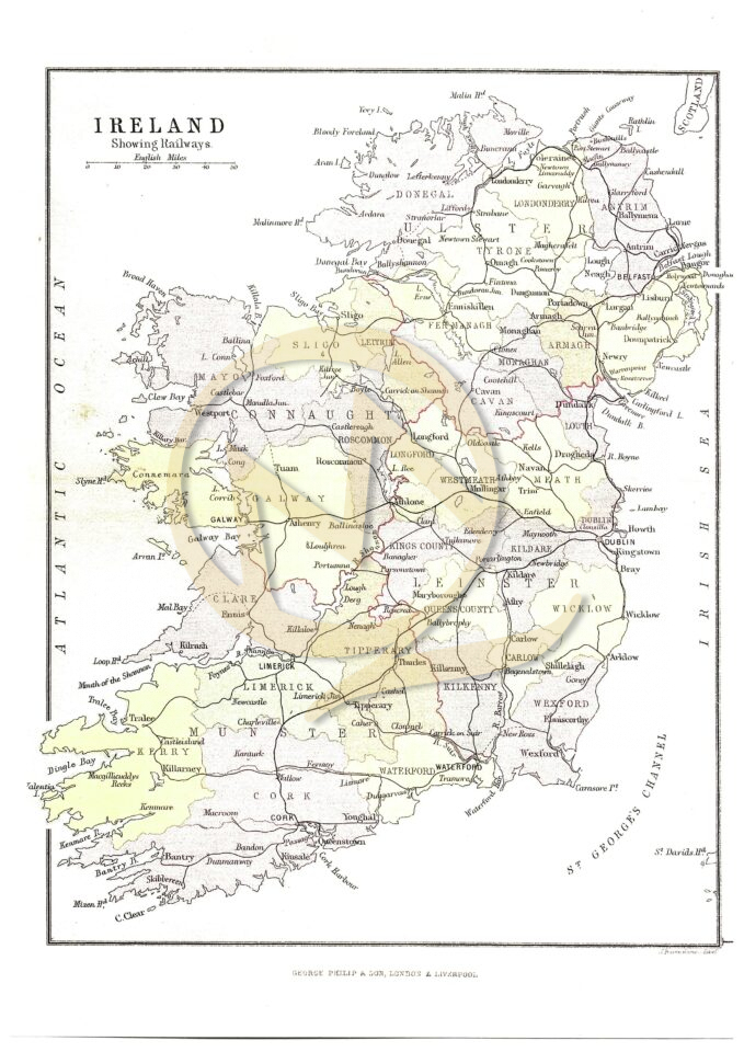
Philips’ County Atlas 1882 – Enlarged colour maps are available for each County and cover all of Ireland. They show the principal features and Baronies. Scales vary. The maps are available in two sizes – A4 [for reference folders] and A3 which is suitable for framing.
[Watermarks will not be shown on maps purchased]